
Pulaski County Neighbor Sources
Records around a Pulaski County block answer different questions. InteractiveGIS supplies parcel shapes and clickable ownership references. Assessor cards add the current owner, mailing address, situs, value, and legal description. City pages identify public association or watch-group contacts. Reverse directories can show occupants in a past year, while Census blocks provide anonymous group statistics. No one source creates a reliable modern household roster.
| Source | What It Shows About a Block | Access |
|---|---|---|
| County parcel GIS | Lot shapes and clickable ownership references | Public viewer and terms |
| Assessor cards | Owner, mailing address, situs, parcel, value | Current public roll |
| Little Rock neighborhood map | Association boundary and public contact layer | City GIS and planning resources |
| NLR organization list | Named groups, meeting details, public representatives | Public city page |
| Reverse directories | Historical occupants arranged by address | Roberts Library or State Archives |
| Census blocks | Anonymous aggregate traits, never resident names | Census or city GIS |
| Voter file | Lawful fields under request limits | Written county request; protected data excluded |
The key distinction is owner versus occupant. A situs address identifies the parcel location. An owner mailing address shows where tax mail goes. A matching pair may support an owner-occupancy clue, but it is not a list of everyone present. A different mailing address can belong to an owner, trust, agent, or post office box. Pulaski County neighbors who do not hold title can remain absent from the owner roll.
Click Pulaski County Neighbor Parcels
The verified county method is adjacent clicking, not an automated radius list. In Pulaski County InteractiveGIS, accept the public-access terms, search the target address, select the suggested match, and zoom until parcel outlines appear. Open the target popup. Then click the polygons to the left, right, and rear. Use the Layer List for parcels, subdivisions, zoning, flood areas, and districts. Measurement and print tools can save a dated block snapshot.
The GIS layer is a reference. Its disclaimer directs users to deeds and plats for legal acreage and ownership. That is an important Pulaski County neighbor-search limit. If a popup and the Assessor disagree, save the parcel number and legal description, then check the recorded deed rather than choosing the more convenient screen.
Map limit. InteractiveGIS can reveal the parcels around one address, but deeds and plats remain the authoritative records for legal ownership and boundaries.
Pulaski County Neighbor Contacts
Little Rock's Planning and Development resources connect a block to public neighborhood information. The city's neighborhood resource page points to an association viewer, guide, and contact material. These are civic gateways. A boundary can identify the group serving an area, and a listed representative can answer questions about public meetings or community projects. The contact does not prove that every home joined the group.
The official Little Rock neighborhood resource is pictured below.
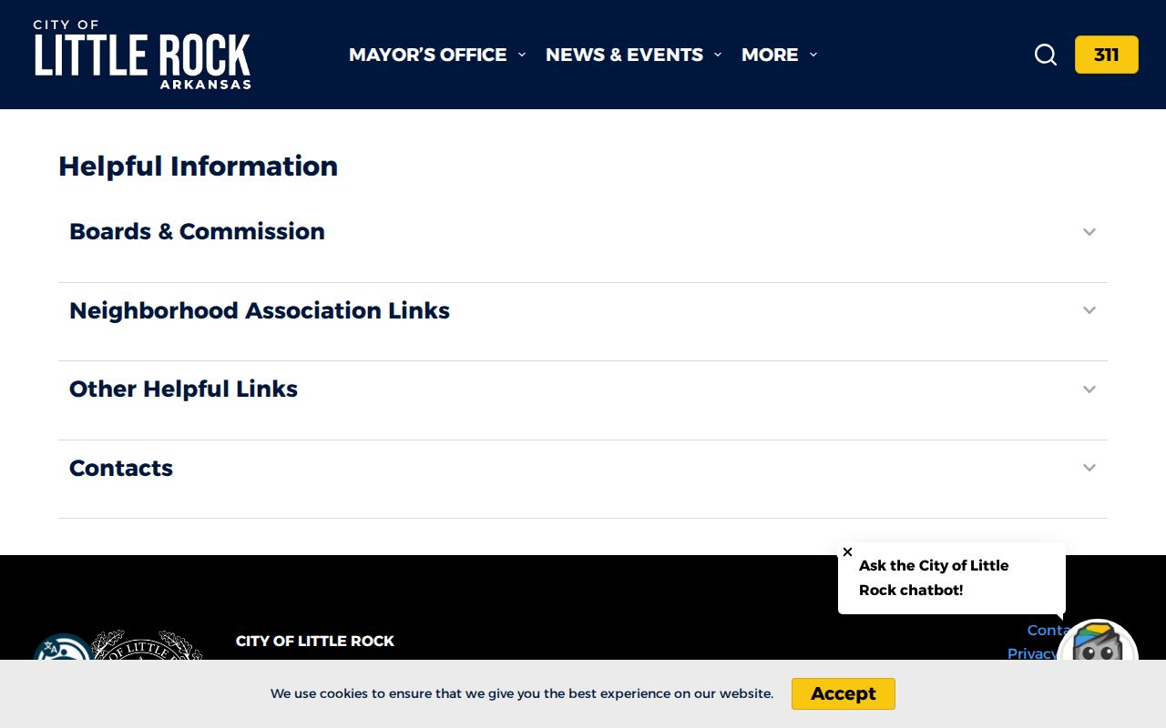
This city layer adds community context to the parcel map. It should not be used to infer a private membership roster or identify all Pulaski County neighbors within the drawn area.
Pulaski County Neighbor Groups
Across the Arkansas River, North Little Rock Neighborhood Services publishes named organizations and public meeting or contact details. Its April 9, 2026 list includes Amboy, Argenta Neighborhood Boosters, Baring Cross, Dark Hollow CDC, East Argenta Annex Watch, Glenview, HOLT, Neighbors United for Levy, Park Hill, Rose City, Scenic Hill, and other groups. The date matters because officers and meeting places can change.
The current North Little Rock organization directory appears below.
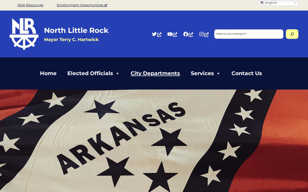
A listed person represents a group. The listing is not proof that the person lives beside the searched address, nor does it name each member. Use the contact to reach a public meeting or ask which organization serves the block.
| Community source | What it can establish | What it cannot establish |
|---|---|---|
| Little Rock association viewer | Mapped service area and public contact | Household membership |
| NLR organization list | Named group, representative, meeting detail | Every resident on the block |
| Historic community collection | Past organizations, minutes, newsletters | Current residence without a newer source |
Pulaski County Neighbor Districts
District boundaries can explain which public body represents a block, but they are not neighbor lists. The Pulaski County election maps provide district-finder links. Arkansas GIS also published an updated election-precinct dataset for Pulaski County on July 14, 2026. That recent update is a warning to date every precinct observation instead of relying on an old screenshot.
The county district map resource is shown here.
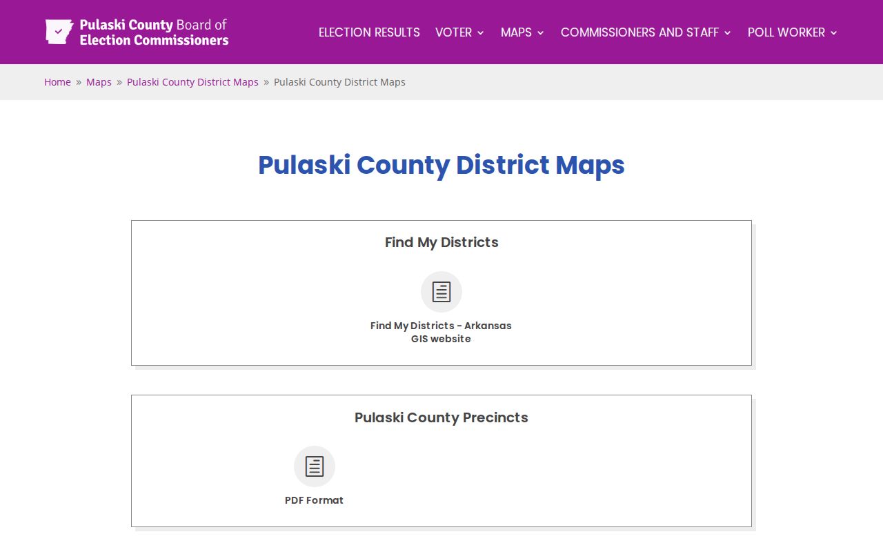
This map helps place an address within a civic district. It does not reveal registered residents, party choices, or ballot selections.
The Arkansas GIS update is available from the official precinct-data notice.
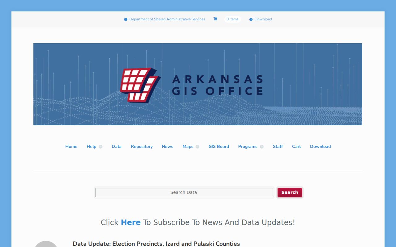
The dated update supports district context around Pulaski County neighbors, not a named voter roll. Boundary data and resident data must remain separate.
Map Pulaski County Neighbors
A repeatable process keeps the block lookup narrow. Begin with one parcel, then walk only to adjoining lots. Capture ownership fields apart from community or voter data. This gives a dated picture of public property context without turning the search into a broad list of named households.
- Normalize the address and find it in InteractiveGIS. Select the suggested match and confirm the situs and parcel number.
- Click the polygons on each side and behind the target. Record each parcel and owner reference in map order.
- Open each Assessor card. Keep the owner, tax-mail address, situs, and legal description in separate fields.
- Use layers and print to preserve the date and block context. Check a deed or plat when legal ownership or a boundary matters.
This flow is intentionally smaller than a full street search: address to parcel, parcel to adjacent polygons, polygons to Assessor cards, and deeds only where confirmation is needed. For the entire named road and its deed sequence, use the Pulaski County street directory.
Pulaski County Neighbor Voter Channels
VoterView verifies a known person using first name, last name, date of birth, and county. It may return registration status, address, precinct, districts, party association where captured, and polling place. It is not a street-browse tool. Full birth dates, identification numbers, signatures, protected addresses, and ballot choices are not public results.
For a lawful written data request, contact the Pulaski County Voter Registration Department in the South Lobby at 401 W. Markham, call 501-340-8336, or use the county's Voter Data Request Form. Its permitted-use and confidentiality terms control any released fields. In-person and phone help can address registration and update questions, while historical poll-tax and voting records belong with archives.
The county voter-registration channel is pictured below.
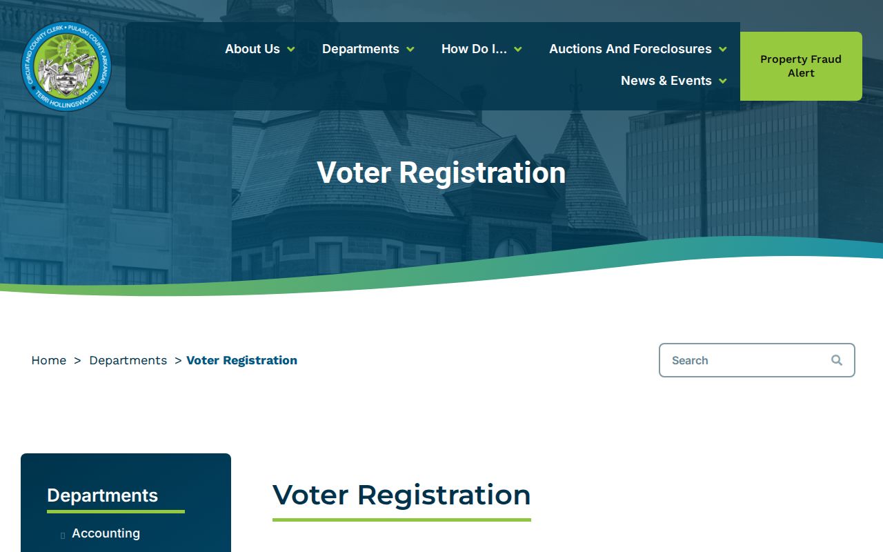
This office provides the proper fallback when VoterView cannot answer a permitted question. No channel reveals how a person voted.
Note: Treat a protected address or excluded voter field as the correct end of a Pulaski County neighbor search.
Pulaski County Neighbor Lookup Choices
Official records and commercial neighbor tools serve different roles. The official source names its custodian, date, and field limits. A commercial compilation may merge old rolls, purchased data, and copies from other sources. It can lag corrections or combine two people. No Pulaski County custodian vouches for those compiled results.
| Source type | Useful for | Main limit |
|---|---|---|
| Assessor and parcel GIS | Current owner and mapped parcel context | Not a household list; GIS is not title authority |
| City community directory | Public organization and meeting contact | Not private membership or residence proof |
| County voter channel | Permitted registration facts | Identity gates and protected fields |
| Commercial compilation | Possible lead for later verification | Unknown freshness, merged names, recurring fees |
Verify any useful lead with the record's actual keeper. Save an access date. For a property fact, that means the Assessor or clerk. For a group contact, it means the city page. For voter information, it means the state portal or county election office under the stated restrictions.
Pulaski County Neighbor Safety
Neighborhood research is not surveillance. If the concern is a public-safety record or a threat, use the proper agency rather than expanding a private resident search. The Pulaski County Sheriff's contact page lists records and warrants, detention, and non-emergency channels. Records/Warrants is 501-340-6625, detention is 501-340-7001, and the non-emergency number is 501-340-6963.
The Sheriff's official contacts are shown below.
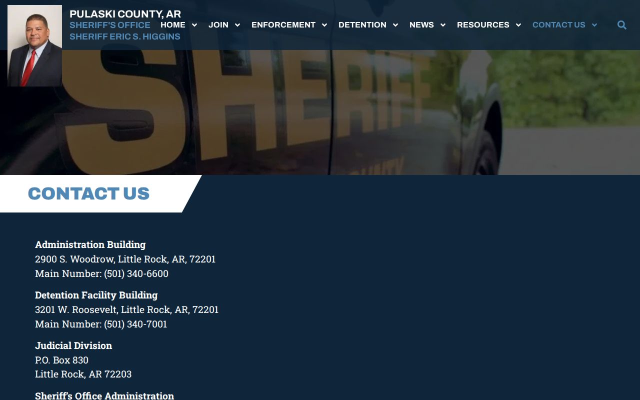
Use official contact details instead of numbers sent in unsolicited messages. Preserve evidence of threats or fraud. Call 911 for immediate danger, and do not republish victim information found in a public filing.
Pulaski County Neighbor Privacy
Owner rolls omit non-owner occupants, children, roommates, and many other household members. Utility and motor-vehicle customer addresses are restricted. Arkansas's Address Confidentiality Program places a substitute address into participating public records for qualifying victims. Voter dissemination excludes sensitive identifiers and protected locations. A sealed court file stays sealed. These are not gaps to work around.
Historical tools need a date label too. A reverse city directory can name occupants for one publication year, and Census blocks can describe the area's aggregate traits. Neither establishes a present household. Community records at UA Little Rock CAHC may include old membership directories, minutes, or newsletters, but each item reflects its own time and organization. That broad 1814 to 1970 collection is especially useful for past civic life, not a live Pulaski County neighbor roll.
Lawful use. Look up Pulaski County neighbors only for lawful personal, historical, or civic reasons. Never use a record to watch, harass, threaten, or evade privacy protections.