
Walk a Pulaski County Street
A sound Pulaski County street directory begins with a precise address, then moves from the city record to the parcel and finally to the legal land record. This order prevents a common error: treating an applicant, tax-mail recipient, owner, and occupant as the same person. They may be four different people. Keep the parcel number and legal description with every note because both remain useful when a street number or postal city changes.
- Search a Little Rock address in the municipal permit lookup when the property is within that city. Use a partial address, street name, status, and a date span that does not exceed the form's stated limit.
- Open the Pulaski County Assessor services and find the current parcel. Save the situs address, owner, mailing address, parcel number, and legal description.
- Move into InteractiveGIS. Select the suggested address, zoom to the parcel, inspect the popup, and click nearby polygons to build the street segment.
- Search the current owner's acquisition deed through the Circuit and County Clerk. Confirm the same legal description before using the seller's name to step backward.
- For occupant evidence, consult reverse directories, census records, and local archives. VoterView verifies a known registrant; it is not a public street browse.
The resulting street-by-street record is a set of dated observations, not a live household roster. Record when each portal was checked. Ownership may change after a deed records and before the assessor roll is refreshed.
Pulaski County Street Search Fields
The assessor roll provides the best bridge from a street address to land records. Its public interface may require acceptance of terms or an account, and exact labels can change. The research confirms the following usable keys and result fields. It does not support claiming that every field is required or always visible.
| Search or result field | How it helps by address | Important limit |
|---|---|---|
| Owner name | Finds parcels tied to a known owner | A name match alone is not identity proof |
| Property or street address | Finds the situs parcel on a named street | Postal and situs forms may differ |
| Parcel number | Connects the map, card, permits, and tax record | It is an identifier, not a street address |
| Subdivision or legal description | Separates similar addresses and supports deed work | The recorded plat and deed control |
| Mailing address | Shows where tax mail is sent | It does not prove where the owner lives |
| Districts and characteristics | Adds tax, building, and jurisdiction context | Values and traits can change by roll date |
The assessor services page shown here is the official entry point for property records and mapping.
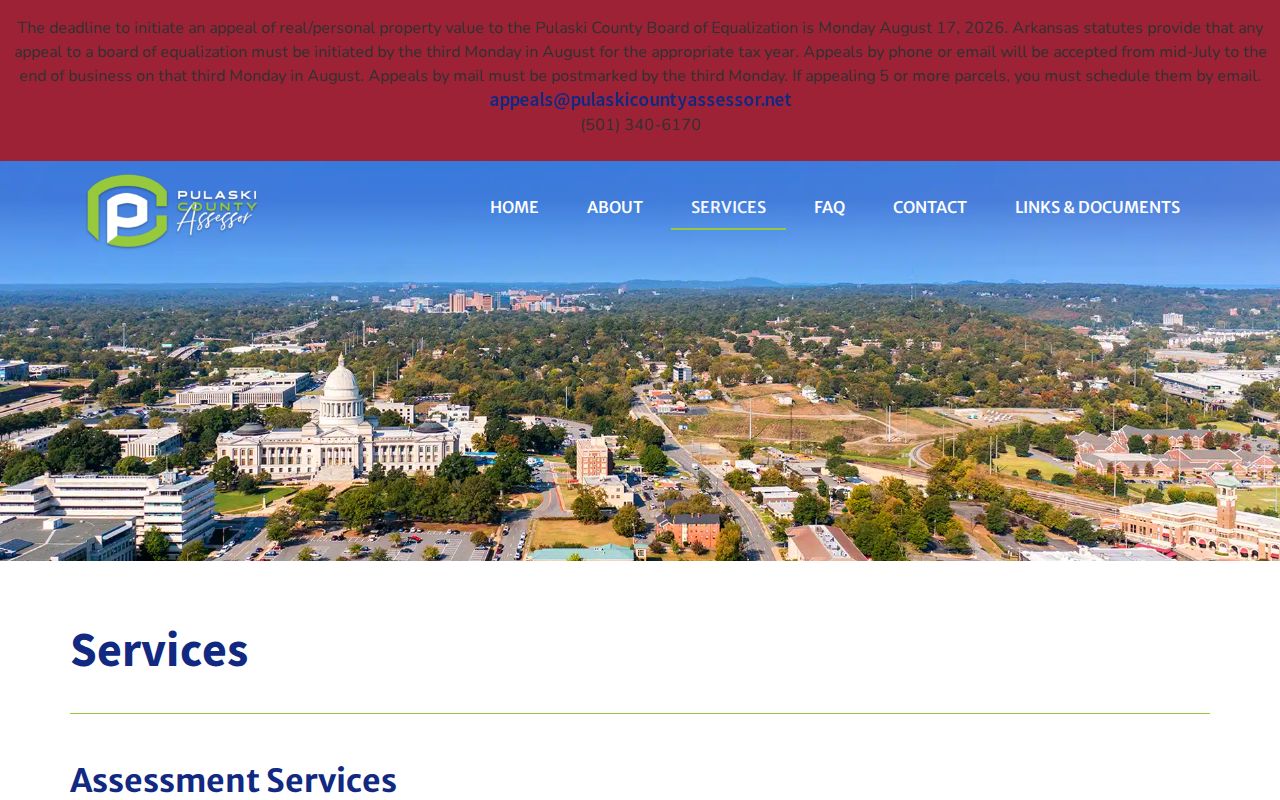
Use the assessor result as the street directory's current parcel index, then verify title facts in the recorded deed.
Note: A homestead exemption can support a tax claim, but it does not name every person living at the property.
Map Pulaski County Streets by Parcel
InteractiveGIS turns one address result into a visual street browse. Search the address, choose a suggested match, and zoom until parcel outlines appear. Open the target polygon, then pan and click the lots beside and behind it. Parcel, subdivision, zoning, flood, and district layers add context. Measurement can check distance, while Print preserves a dated view of the block.
The InteractiveGIS public access screen explains the terms that govern entry to the Pulaski County map.
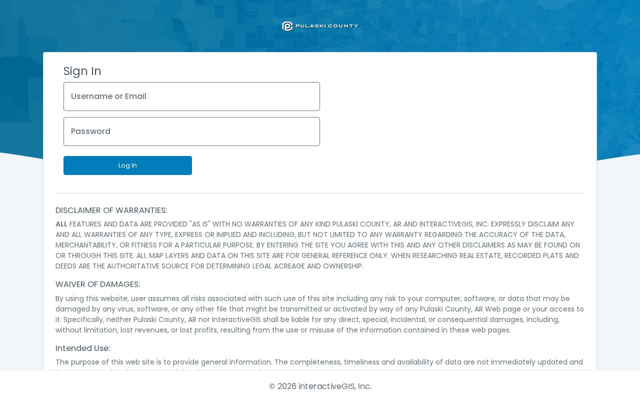
The map is useful for reference, but its own disclaimer directs users to deeds and plats for legal acreage and ownership.
Map limit. A Pulaski County GIS popup is a lead, not a deed. Confirm legal ownership and boundary facts through recorded instruments and plats.
Pulaski County Street Record Layers
No single office maintains a complete Pulaski County street directory. Each address-keyed source contributes one layer. The parcel number and legal description are the safest links among them, while a street name is best treated as a starting phrase that may have postal or historical variants.
| Address source | Custodian | Street evidence | Ways to reach it |
|---|---|---|---|
| Parcel card | Pulaski County Assessor | Owner, mailing and situs addresses, legal description, values | Online roll; assessor office; 501-340-6170 |
| Parcel geometry | Assessor / PAGIS | Lot shapes, adjoining parcels, reference districts | Interactive map; assessor staff |
| Deeds, liens, and plats | Circuit and County Clerk | Parties, recorded date, instrument, and legal land identity | Web from 1994; courthouse scans to 1819; paid copies |
| Property tax status | County Treasurer | Balance and delinquency context tied to parcel | Online portal; 501-340-6040 |
| Little Rock permits | Planning and Development | Applicant, work type, parcel, status, and dates | CDR lookup; city office; narrow FOIA request |
| Historical occupants | Roberts Library, Archives, CAHC | Directory entries, census households, maps, and photographs | Catalogs, digitized items, onsite shelves, staff help |
The Pulaski County property tax portal adds payment and delinquency context when a parcel card raises a tax question.
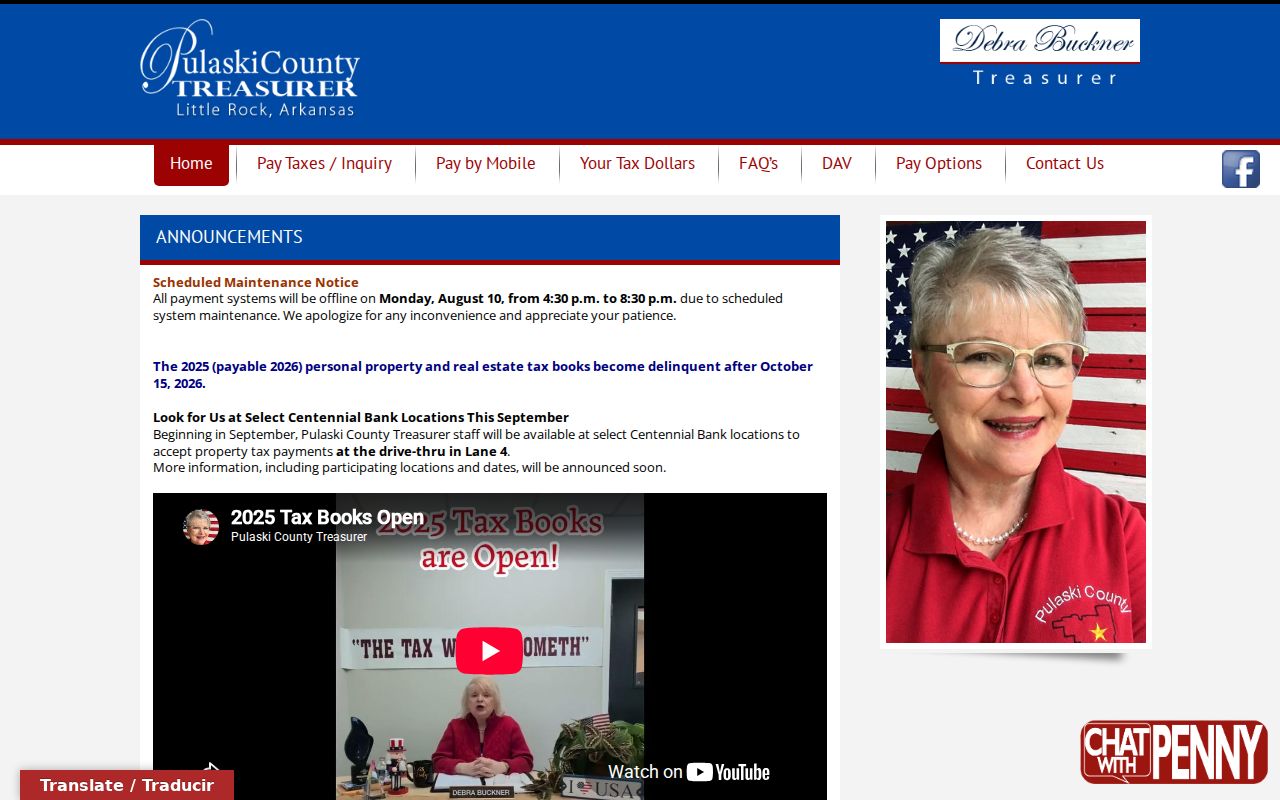
Tax status belongs beside the parcel record. It should not be treated as evidence that the taxpayer occupies the address.
Read Pulaski County Address Terms
Street research becomes much more accurate once four record terms are kept separate. These words appear across Pulaski County parcel cards, maps, deeds, and old directories.
- Parcel
- A mapped unit of land with its own county identifier. One street address can involve more than one parcel.
- Situs address
- The location assigned to the property itself, unlike the address where tax mail is sent.
- Plat
- A recorded drawing that sets out a subdivision, blocks, lots, easements, and related land details.
- Criss-cross directory
- A directory arranged by street and house number, allowing an address to lead to a named occupant.
A legal description usually outlasts a postal label. Use subdivision, block, and lot data when the same house appears under a different street form or municipal heading.
Pulaski County Streets in Permit Records
Little Rock's CDR Online Lookup adds physical-change evidence to the street directory. Its Building, Sign/Banner, Planning, Project, Trade License, and Use Permit areas serve different purposes. The detailed address mode accepts a partial address, requires a street name, includes number, direction, suffix, unit, city, state, and ZIP fields, and uses status plus date boundaries. The address search states a 12-month span.
The Little Rock permit lookup landing page separates the available application types and search routes.
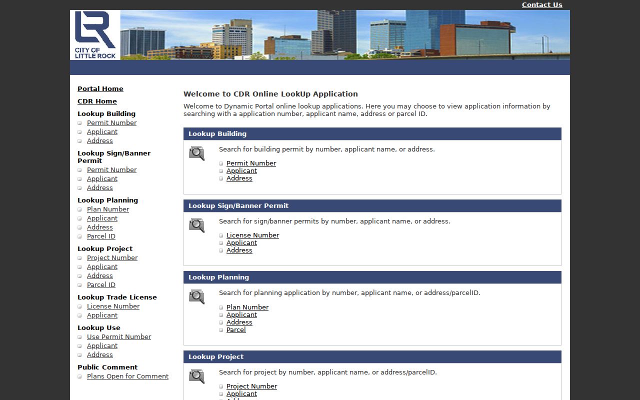
An application detail can date work at an address, but its applicant may be an owner, contractor, architect, or other participant. Verify the listed role.
North Little Rock uses separate custodians. Planning handles building, remodeling, and sign permits, while other permits may go to the City Clerk/Treasurer, Animal Services, or Neighborhood Services. An exact jurisdiction check should come before the request.
Follow Pulaski County Streets Into Deeds
The modern address opens the door, but the legal description carries the search. Start with the current owner and the assessor's transfer clue. Search that person as grantee near the apparent purchase date. In the acquisition deed, confirm the lot, block, subdivision, or other legal description. The named seller is the grantor. Search that seller as an earlier grantee to continue backward.
The Pulaski County Circuit and County Clerk hub connects real-estate records with the county office that holds deeds, mortgages, plats, liens, leases, and related instruments.
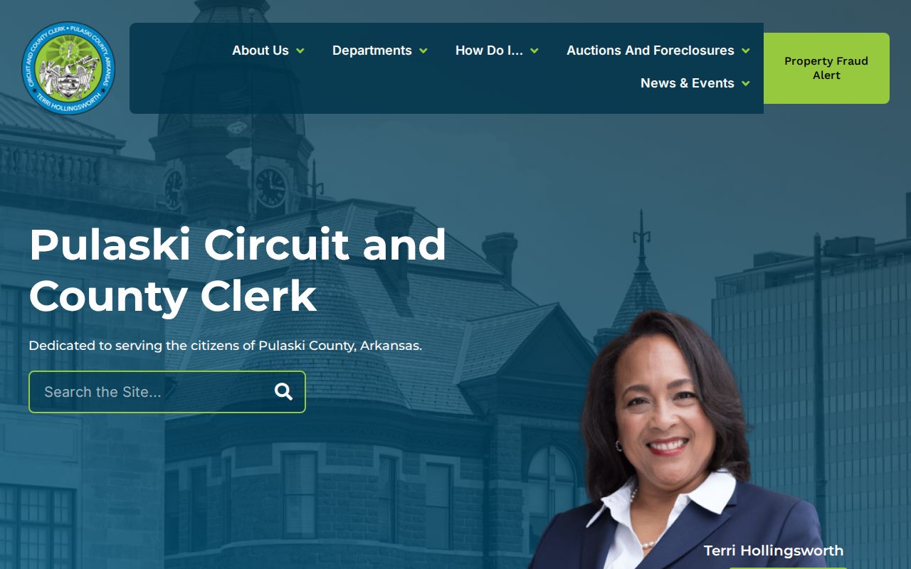
The screenshot marks the official clerk gateway. For a formal title or boundary need, obtain the relevant record from that custodian rather than relying on a map capture.
Web review begins in 1994. The courthouse research room reaches much farther back through scanned records dating to 1819, plus microfiche for 1945 through 1977. Four two-hour computer appointments are offered Monday through Thursday at 8:15, 10:15, 12:15, and 2:15. The clerk says they cannot be booked by phone or email.
Pulaski County Street Geography Shifts
A postal line, city limit, voting precinct, and taxing jurisdiction can disagree in Pulaski County. Little Rock, North Little Rock, Jacksonville, Sherwood, Maumelle, Wrightsville, Cammack Village, parts of Alexander, and unincorporated areas also keep different municipal records. PAGIS and the parcel jurisdiction field help identify the right city before a permit request.
The Little Rock map directory includes post-1943 annexations, historic sites, wards, planning districts, census blocks, and aerial mosaics from 1943, 1960, and 1970.
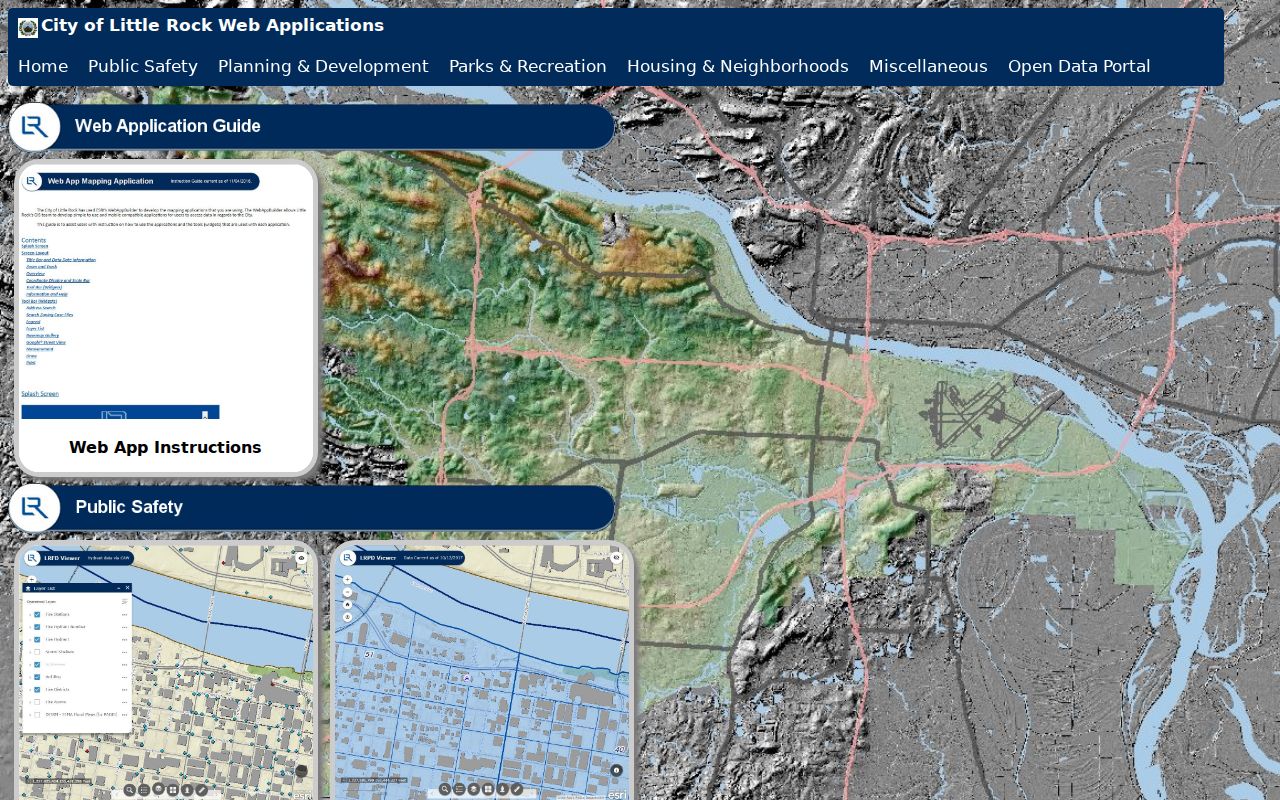
Those layers can show that an old address once sat outside Little Rock or that the physical block changed, even when the legal parcel chain remained intact.
Historic name shifts require care. North Little Rock also appeared as Little Rock's Eighth Ward and Argenta, while Pulaski Heights joined Little Rock in 1916. No official countywide street-renumbering concordance was found, so a specific renumbering year should not be assumed.
Note: Search the legal description and old municipal heading when a current street name produces a false gap.
Extend the Pulaski County Directory
Current ownership is only one layer of a street. Roberts Library, the Arkansas State Archives, and UA Little Rock's Center for Arkansas History and Culture preserve city directories, newspapers, yearbooks, maps, photographs, and manuscripts. A reverse section can turn a house number into an occupant, while the alphabetical section helps compare surname, spouse, work, and home clues.
Use the Pulaski County directory collections for the documented volume runs and entry-reading method. On a street search, record the exact volume, year, page, and abbreviation key. A missing person may reflect a gap year, omission, rural address, spelling change, or publisher practice. It does not prove the household left.
Reach Pulaski County Street Records
Online access is only the first channel. The assessor is at 201 S. Broadway, Suite 310, open Monday through Friday from 8:00 to 4:30, with help at 501-340-6170. Clerk land research takes place at 401 W. Markham under the appointment process, and Real Estate can be reached at 501-340-8433 for office questions. The Treasurer answers tax-balance questions at 501-340-6040.
A narrow Arkansas Freedom of Information Act request can seek an existing electronic roll or a defined municipal permit series. Name the address, record type, city, date range, and desired format. An office need not create a custom title abstract. For older occupant work, Roberts Library and the state and university archives provide the historical fallback.
Search and copy access also differ. An index or screenshot helps navigation. A certified deed or official copy must come from the clerk. This distinction matters whenever the result will be used to establish a formal property fact.
Pulaski County Street Directory Limits
A parcel card identifies an owner of record, not every occupant. Renters, children, roommates, and other household members are often absent. The mailing address may belong to an agent, trust, business, post-office box, or another home. Utility customer and motor-vehicle address data are restricted. VoterView verifies a known registration with personal identifiers; it cannot lawfully be turned into an open block roster.
Commercial compilation tools may lag corrections and merge people with the same name. Official custodians remain the best source for each record. Even then, a missing web result is not a finding that no record exists. Older deeds may be onsite, map data may be out of date, and protected addresses must remain protected.
Lawful use. Use Pulaski County street records for personal research, property history, and civic inquiry. Never use address data to stalk, threaten, harass, or defeat an address-protection measure.